|
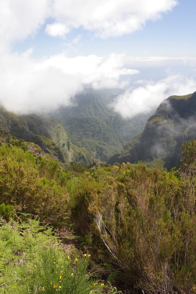 |
| Road to Pico do Arieiro | |
| Latitude: N 32°43'31,27" | Longitude: W 16°55'7,87" | Altitude: 1573 metres | City: Ribeiro Frio | State/Province: Ilha da Madeira | Country: Portugal | Copyright: Ron Harkink | See map | |
| Total images: 62 | Help | |
|
|
|
| Road to Pico do Arieiro | |
| Latitude: N 32°43'31,27" | Longitude: W 16°55'7,87" | Altitude: 1573 metres | City: Ribeiro Frio | State/Province: Ilha da Madeira | Country: Portugal | Copyright: Ron Harkink | See map | |
| Total images: 62 | Help | |